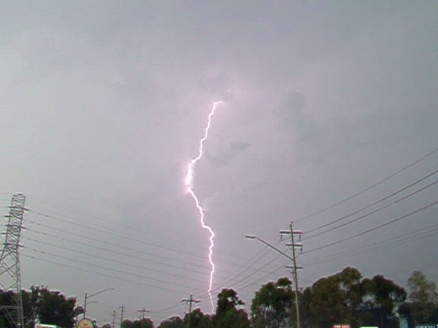
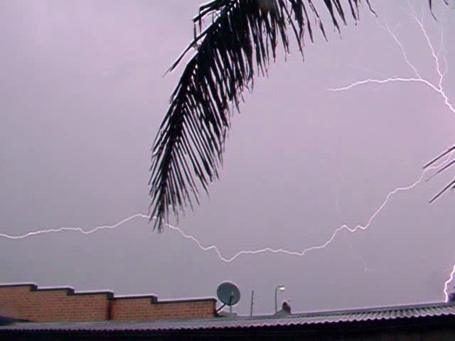
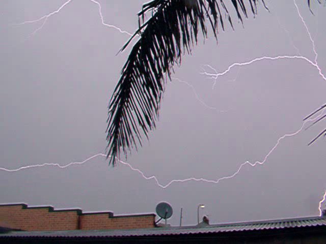
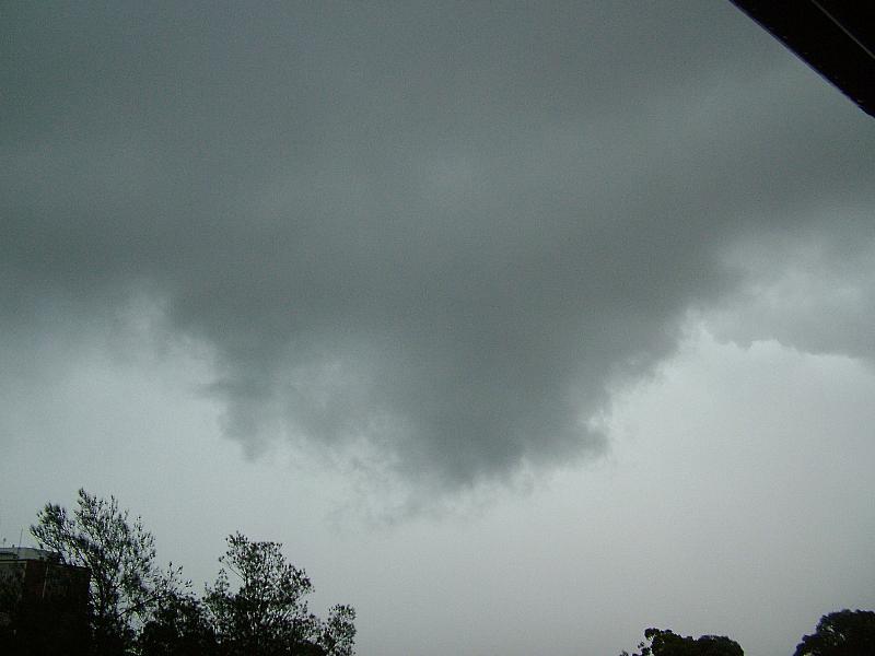
Saturday 19th Feb
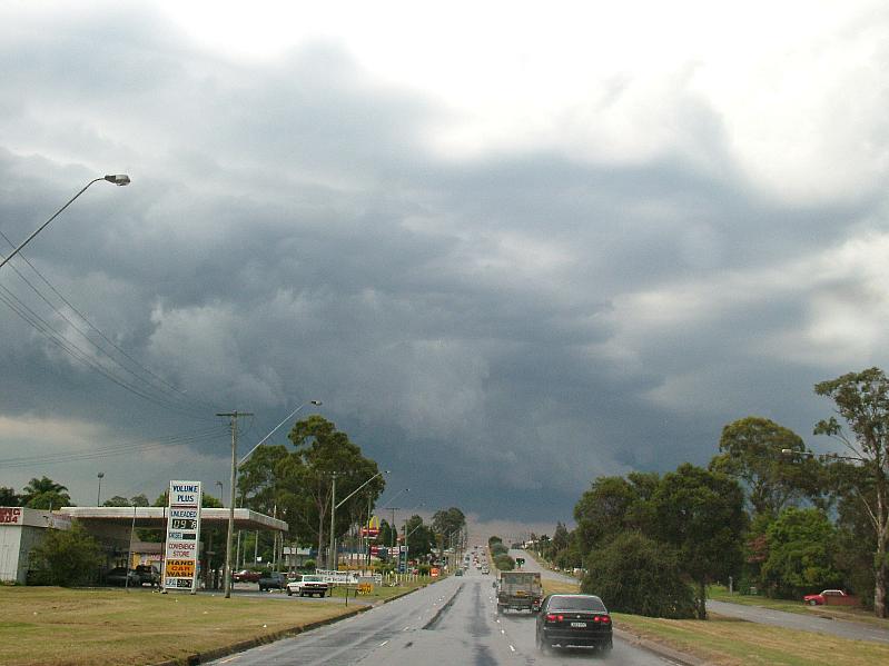
The storms started to build up in the ranges West and SW of Sydney around 10 am EST. By early afternoon the one growing over Katoomba was already extending its anvil overhead of my home in Ryde. One large cell moved SE down through Mossvale and crossed the coast at Nowra. During this time the cell over Katoomba continued to grow and started to move towards Sydney.
|
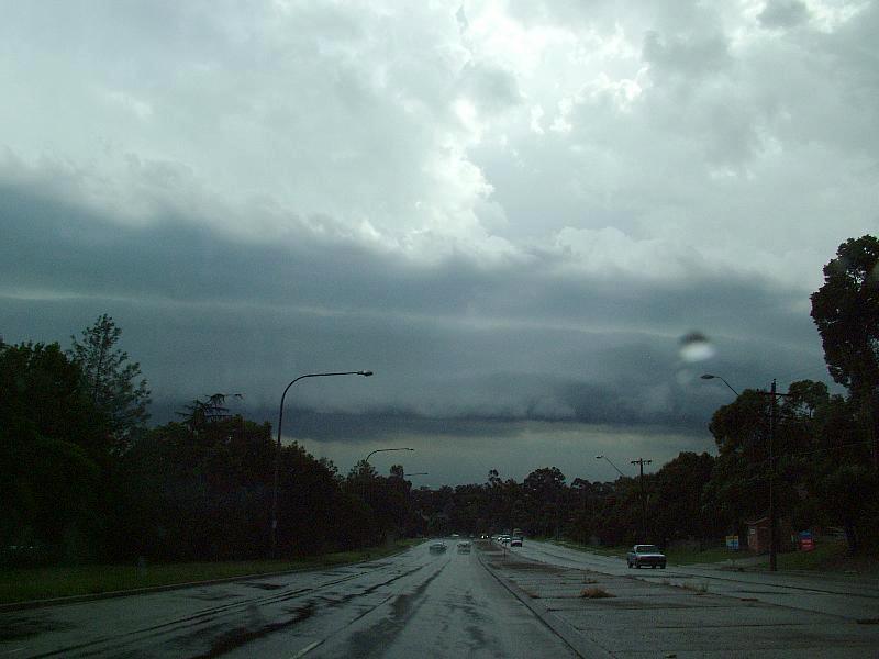
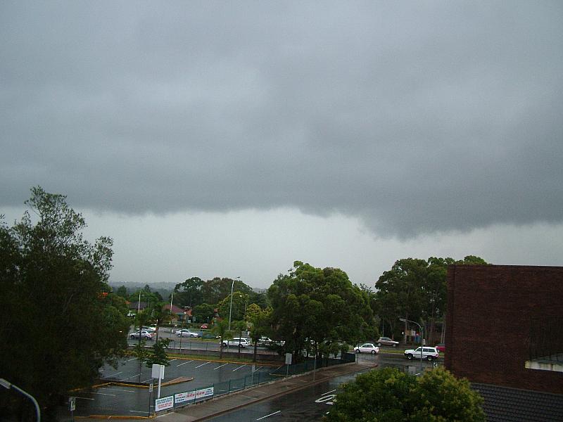
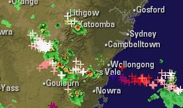
050219 1300EST
|
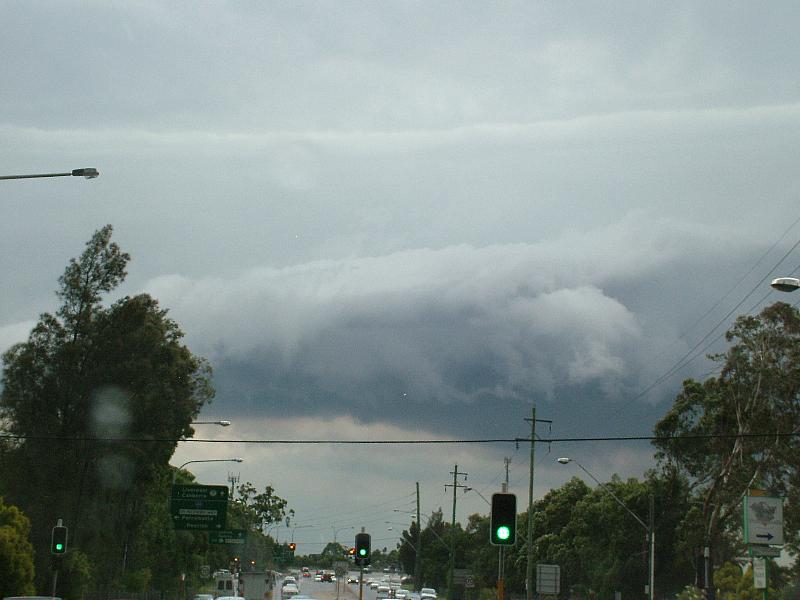
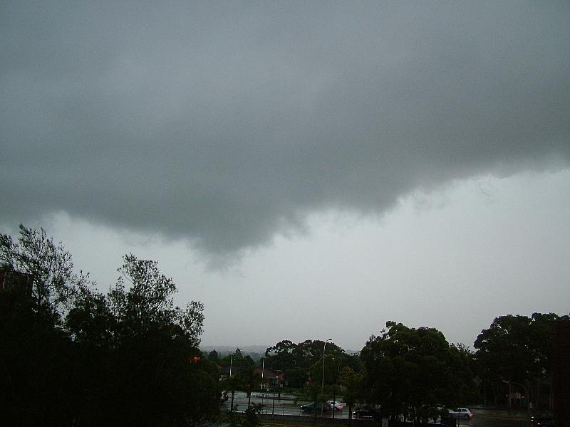
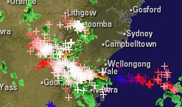
050219 1340EST
|
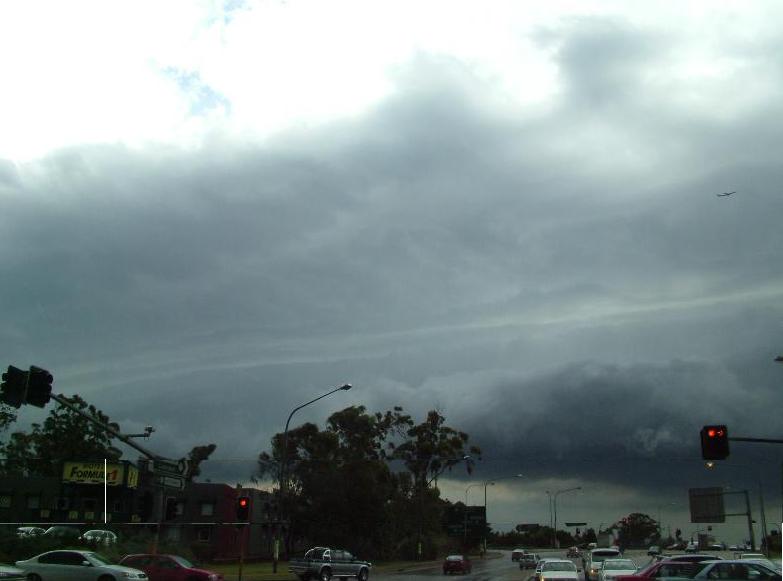
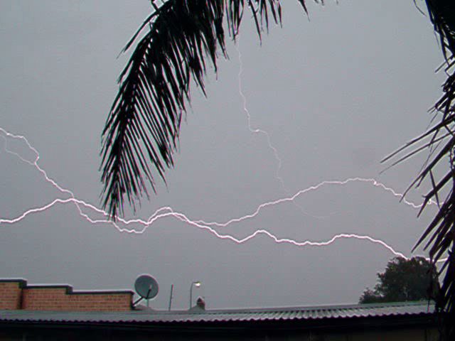
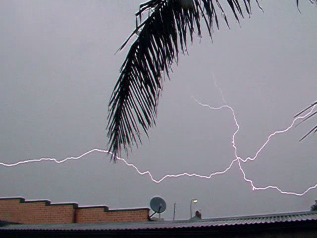
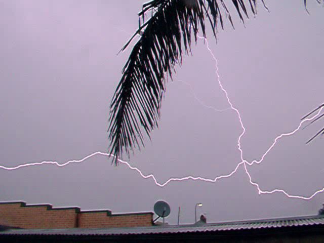
Click on images below for full size pics
Cindy and I left home just before 1400EST and headed west towards Blacktown. Whilst stuck in traffic on the M4 just west of the James Rouse Dr. on-ramp where I started to photograph the approaching storm.
.jpg)
.jpg)
.jpg)