Saturday 11th December 2004
Finally the weekend arrived and I can get a chance to travel inland to go stormchasing. This was after a whole
week of severe inland storms ahead of a stationary trough that lay north-south across the western part of NSW.
Saturday morning Cindy and I travelled through, firstly, to Bathurst. Arriving there around 1230hrs, we went to a
net cafe to check on Weatherzone lightning tracker to see if the storms had started up and where. A good cell was
brewing over the Cobar area. Next stop was Orange and we used the internet at the local RSL to check developments
during the last hour of travel time. We passed through several heavy showers of rain just prior to Orange, that came from
some good growing CU's. Weatherzone showed that the storm near Cobar was growing well and moving roughly SE
towards Dubbo - Parkes region. So thats the direction we decided to travel but getting out to Molong, I had a change
in decision that led to a change in direction towards Parkes instead of Dubbo.
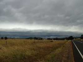
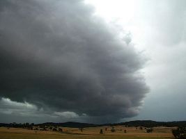
This turned out to be the right decision as half way to Parkes we encountered a huge shelf cloud stretching across the
western horizon and coming our way. Above us the, hi altitude, leading anvil was flashing with glows of internal
lightning and almost constant rumbles of thunder.
Click on images below for full size pics


We continued to travel towards the storm front till it finally hit us. There was reasonably strong winds and heavy rain
that were stripping leaves and some branches from the gum trees. No significant hail was encountered, just a few
scattered stones amongst the rain.
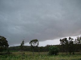
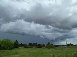
Below left pic as the shelf cloud arrives overhead and the right pic the leading edge having passed over and just
before the arrival of the heavy rain.


There was lots of lightning but it was primarily overhead and CC, only a few CG's hence it was next to impossible
to photo the lightning with the pouring rain. I only managed to capture a couple of weak CG's. Not worth posting here.
Sunday 12th December 2004
We were finally able to check the weatherzone site at 1300 hrs after the public library opened as the RSL had
lost their net service all morning. Very little was showing just a few zaps in the Orange to Bathurst area.
I could see a reasonable CU rising up just to the north of Orange so decided to go investigate. Travelling ~ 10km
out of Orange we encountered a nice storm front which also brough some torrential rain. Never saw any lightning
from this storm.


copyright Dave Nelson 2004
 To Top
 To Chase Index