Storm damage pics for Feb 02 2005
This was a particularly nasty storm that came in from the west and across the Sydney basin. I was working out in the
sth estrn suburbs and on the way home when I realised I was under a large anvil. But I couldnt see what was producing
the anvil at that time because of a lot of eastern/coastal low cloud. It was only once I got into the Lane Cove area of N. Sydney
and clear of the coastal crud that I could see the shelf cloud of a huge storm front. The green tinge in the cloud was strong,
and was bourne out by the concentrated hailfalls around parts of the city. 10 minutes after picking my wife up from work at
Gladesville, the storm hit us full force. We were trapped between high buildings and couldnt get an overall view of it.
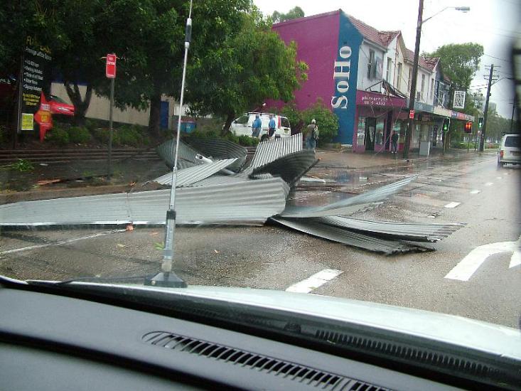
We were too busy dodging flying tree branches and sheets of roofing iron whilst driving towards home up Victoria Rd.
It was the first time in 5 years of living in the area that I had seen storm damage so close to home.
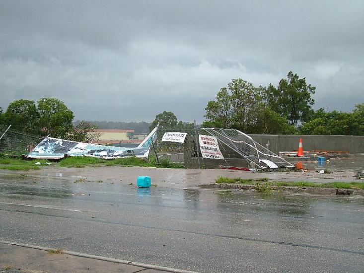
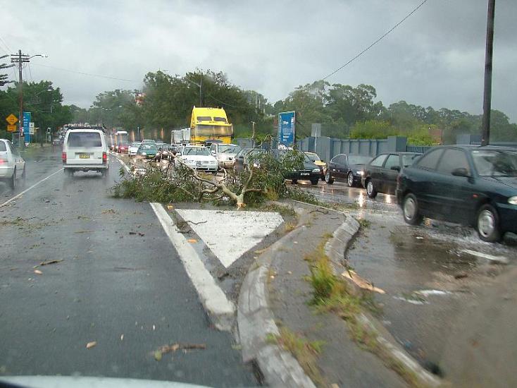
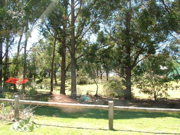
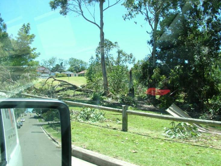
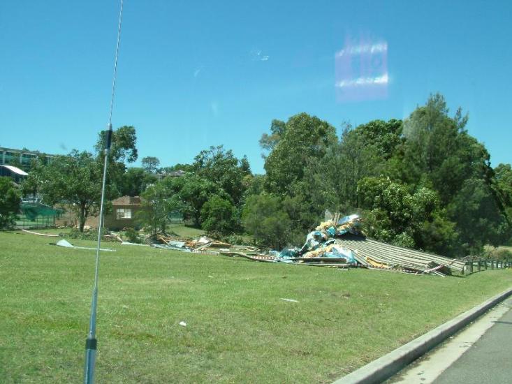
All pics in the Top Ryde to Gladesville area the damage zone was ~ 1km wide and ~ 2km long that I have been
able to establish with some driving around the affected streets.
The 1st 3 pics along Victoria Rd in the area from Monash Rd - Vic Rd intersection to the Ryde Aquatic Centre.

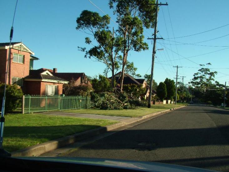
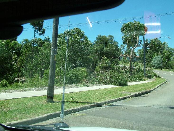
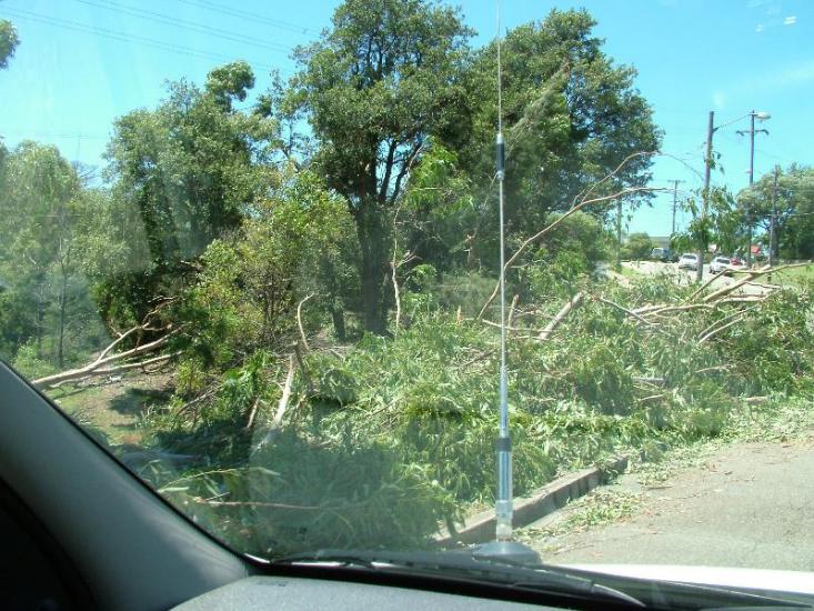
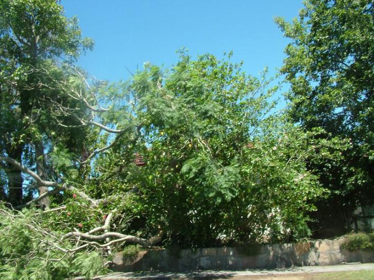
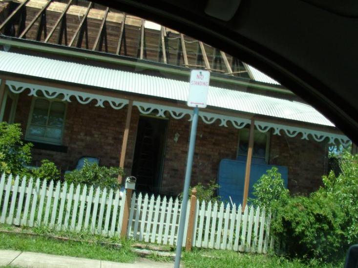
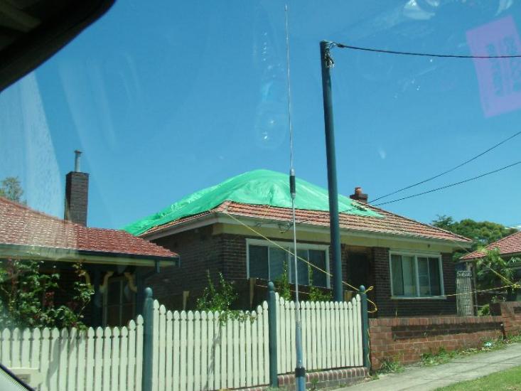
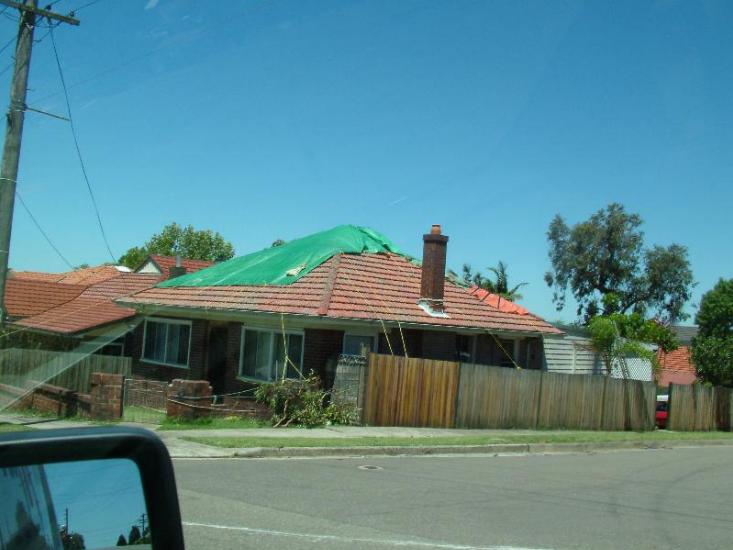
Below 4 pics of my workmate's mothers home and street area, a street west, and parallel to Vic Rd., behind the
Aquatic Centre
Copyrite Dave Nelson 2005
 To Top
 To Chase Index


 To Top
 To Chase Index